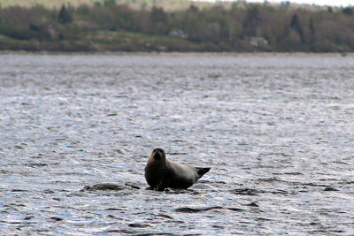

NOAA Fisheries biologist Graham Goulette retrieves and downloads a temperature logger from the Narraguagus River in Downeast Maine. Photo by NOAA/NEFSC
Hi – I’m Graham Goulette. As a member of the Atlantic Salmon Ecosystem and Research Team out of the NOAA Fisheries Maine Field Station in Orono, I maintain a series of temperature loggers deployed in juvenile Atlantic salmon rearing habitat as part of a statewide effort in Maine to monitor stream temperature. Collecting stream temperature may seem mundane, but sometimes it’s little tasks like this that provide significant contributions to much larger projects further down the road.
Temperature is important for all livings things, especially fish. They are ectothermic — which means they rely on their environment to manage their body temperature. Different species tolerate different temperatures, however, Atlantic salmon and other cold-water species require cooler temperatures in order to survive. We focus on the endangered population of Atlantic salmon found in the Gulf of Maine and the watersheds where they can live.

Juvenile Atlantic salmon resting in a gravel patch on the bottom of a cold- water stream near a logger site. Photo by NOAA/NEFSC
We place temperature loggers in streams so we can monitor temperatures in these important habitats throughout the time juveniles are developing. The loggers are collecting data that form a record of temperatures over time, one that has multiple purposes.

Temperature data retrieved from the logger is uploaded to a laptop from a waterproof shuttle. The data are displayed to ensure proper collection and re-deployment of the logger before leaving the site. Photo by NOAA/NEFSC
For instance, in drought years like the summer of 2016, we can see how warm the water was in certain rearing areas for juvenile salmon, an indicator of whether conditions were good, or not so good, for juvenile salmon survival. We know that at 22.5 oC, juvenile salmon stop growing. If they are in 27.8 oC water for seven days, none survive. On the lower temperature end, at 3.8 oC they stop eating. So stream temperature data from these rearing habitats are important for running growth rate models and can also provide an early glimpse into likely survival rates for juveniles in a given year.
Our temperature data are also contributed to a much broader stream temperature database. Data from federal and state agencies as well as universities and non-governmental organizations across the Northeastern U.S. from multiple collection efforts are shared, reducing duplication of effort. This collaboration allows for a much larger geographical distribution of temperature collection than a single entity could tackle.
The entire database supports SHEDS — Spatial Hydro-Ecological Decision System – a data visualization and decision-support tool. Among other things, SHEDS feeds a model that predicts daily mean water temperatures. Forecasting stream temperatures is important for identifying where salmonids will find cool water refugia in the future. Have a look at the SHEDS public data viewer – search on NOAA as the agency and you’ll see what I have been up to this summer!